Historical 1956 Footscray and Yarraville Map with Electoral Districts Overlay Framed Print
Area map showing state electoral districts of Footscray and Yarraville from 1956. A big seller and a beautiful historic talking point for any home that loves our inner west area.
We love this print because it offers a wonderful nostalgic feel, suburb names and boundaries with a pop of blue, and a modern street exploration that doesn’t miss anyone like the 1880's maps do.
Covers Footscray, Kingsville, Seddon, Yarraville, Spotswood and Newport.
 Image 1 of 11
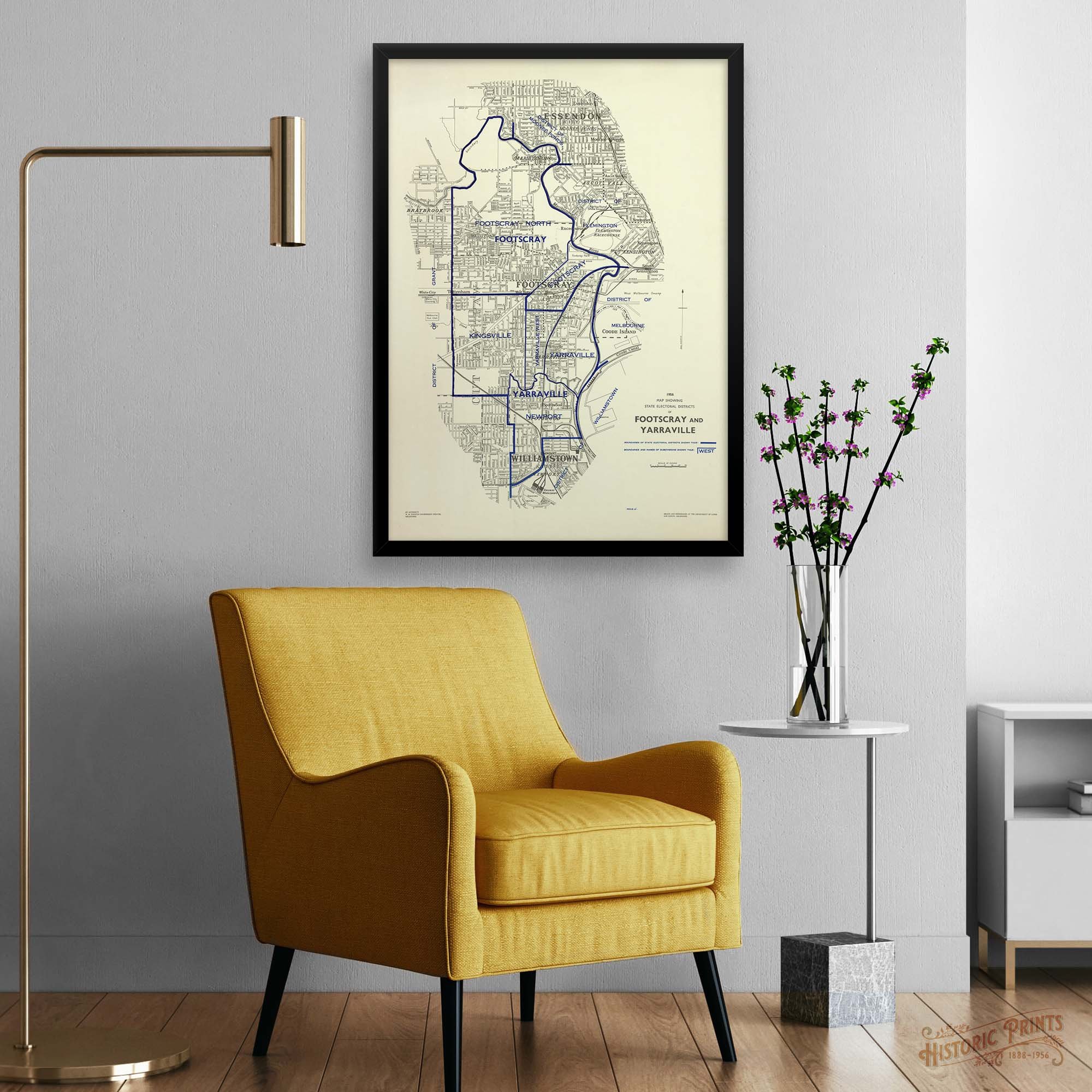 Image 2 of 11
 Image 3 of 11
 Image 4 of 11
 Image 5 of 11
 Image 6 of 11
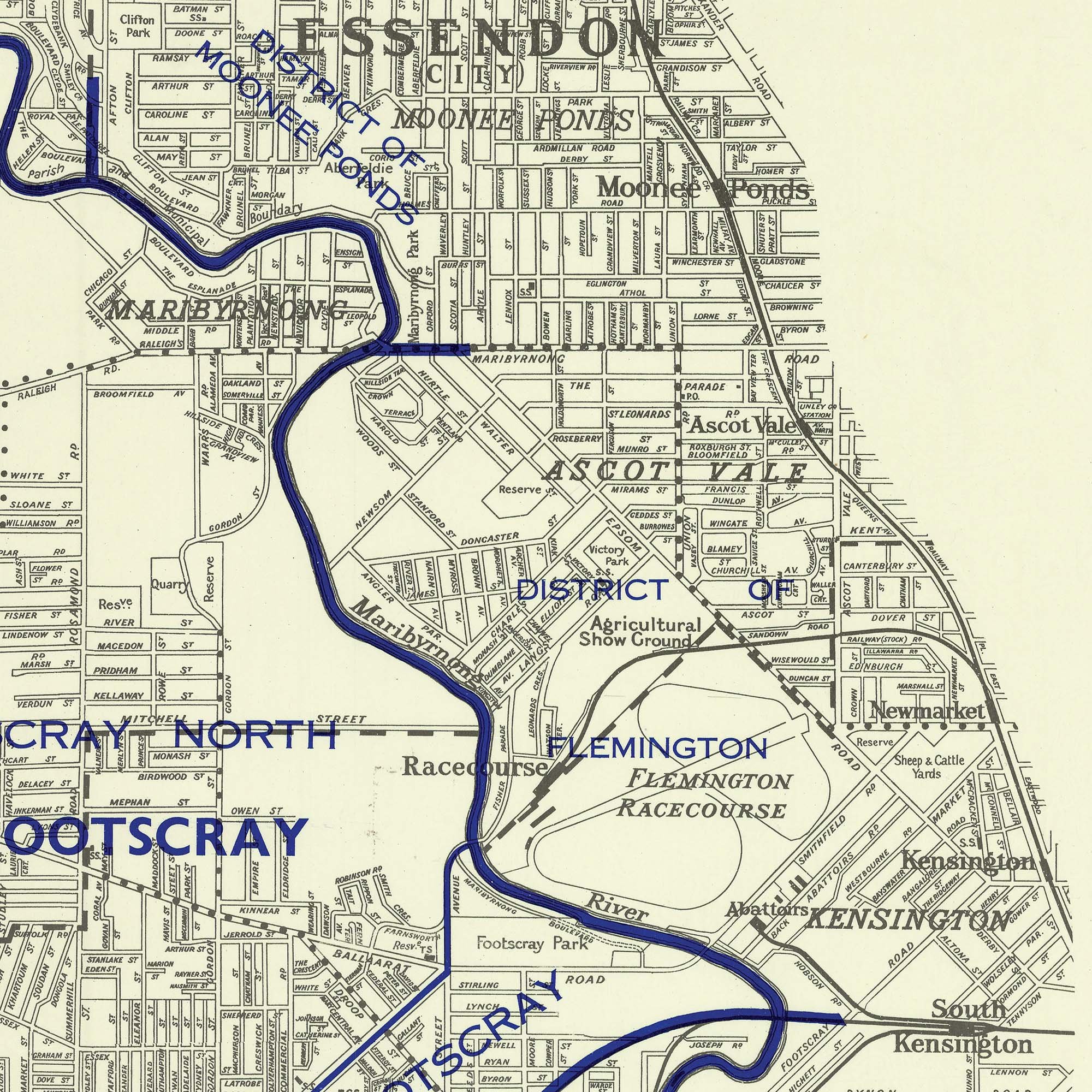 Image 7 of 11
 Image 8 of 11
 Image 9 of 11
 Image 10 of 11
 Image 11 of 11